MY
COLLECTION
MAP POSTCARDS
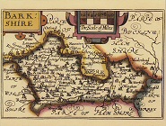
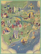
UK :
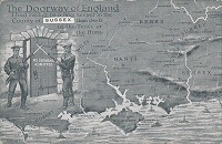
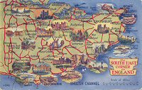
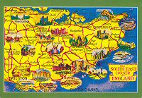
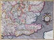
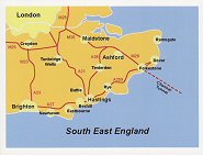
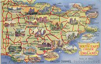
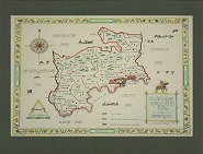
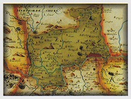
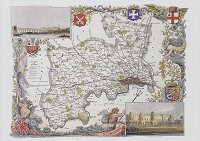
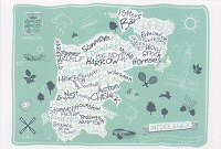
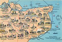
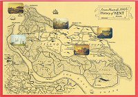
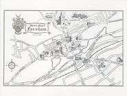
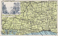
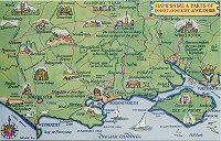
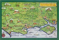
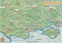
THE SOUTH EAST
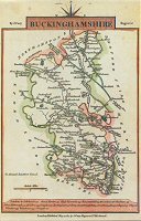
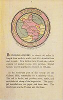
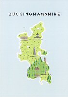
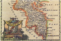
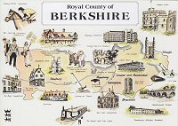
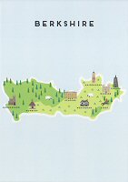
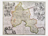
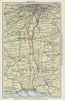
Berkshire, Buckinghamshire,
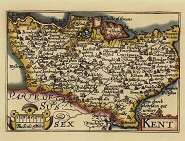
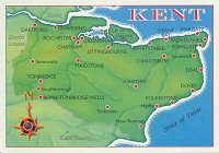
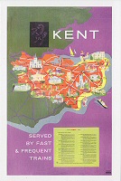
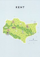
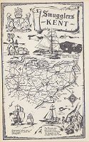
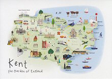
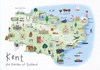
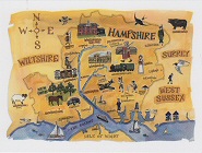
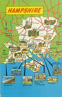
Hampshire, Kent,
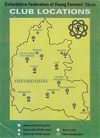
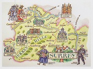
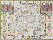
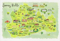
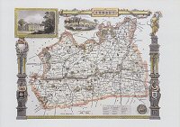
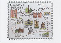
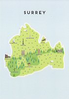
Oxfordshire, Surrey
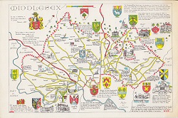
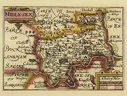
, Middlesex
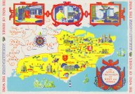
and Sussex.
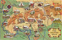
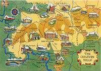
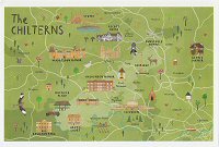
The Chilterns, The Thames
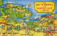
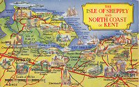
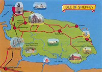
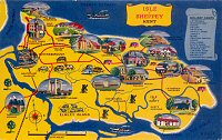
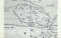
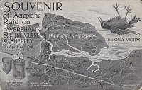
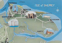
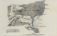
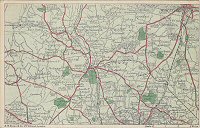
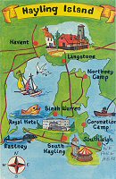
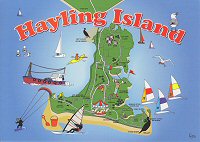
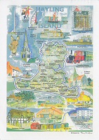
Valley, Isle of Sheppey, Hayling
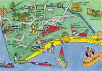
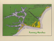
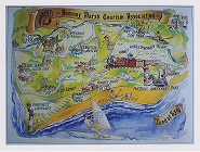
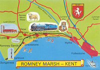
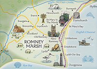
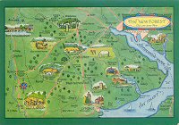
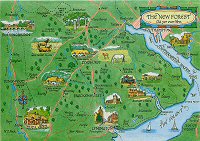
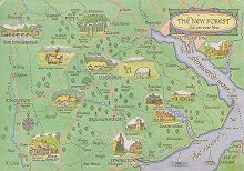
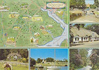
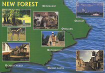
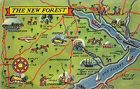
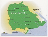
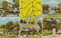
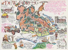
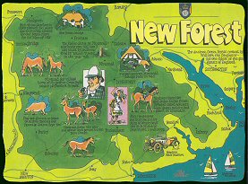
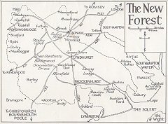
Island, Romney Marsh, The New
Forest, The Pilgrim's Way, Oxford,
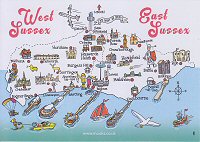
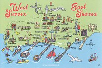
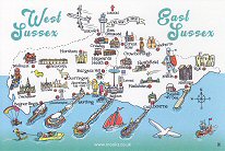
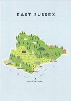
East Sussex, West Sussex.
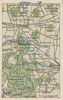
London
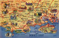
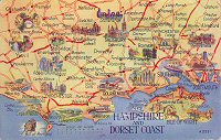
/ Isle of Wight
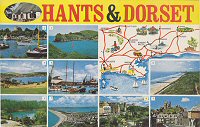
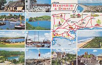
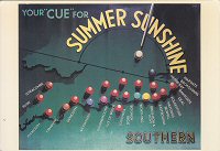
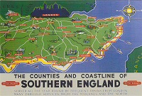
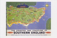
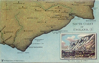
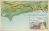
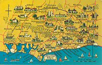
South Coast
 |
 |
 |
 |
 |
 |
 |
 |
 |
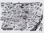
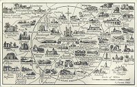
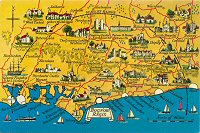
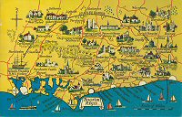
The South East
 |
 |
 |
 |
 |
 |
 |
 |
 |
 |
 |
 |
 |
 |
 |
 |
 |
 |
 |
 |
 |
 |
 |
 |
 |
||
 |
 |
 |
 |
 |
 |
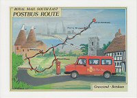
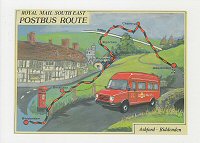
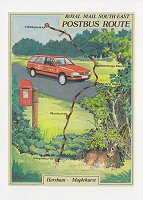
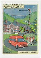
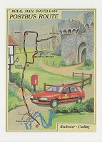
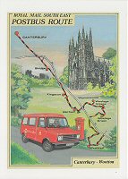
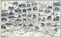
Postbus Routes, South East England
 |
 |
||
 |
 |
 |
 |
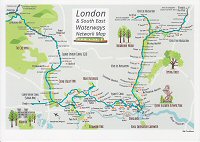
London and South East Waterways
 |
 |
 |
 |
 |
 |
 |
||
 |
 |
 |
 |
 |
 |
 |
 |
|||
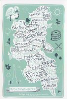
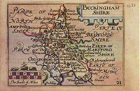
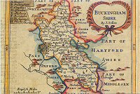
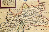
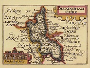
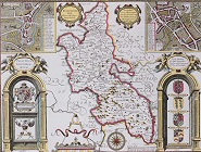
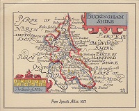
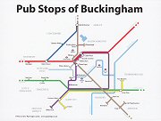
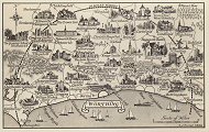
Buckingham
 |
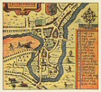 |
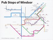
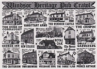
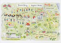
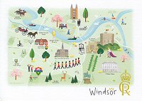
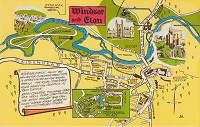
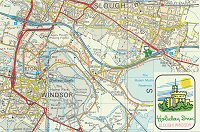
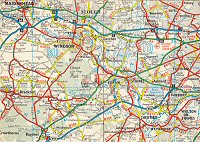
Windsor
 |
 |
 |
 |
Windsor and Eton
 |
 |
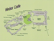
Windsor Castle
 |
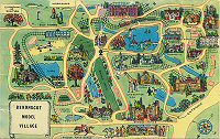
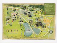
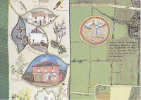
Bekonscot Model Village, Buckinghamshire
 |
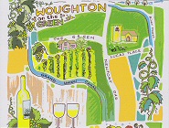
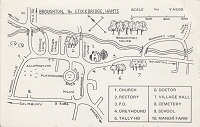
Around Woburn
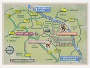 |
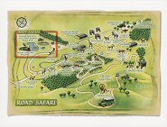
Woburn Safari Park
 |
 |
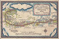
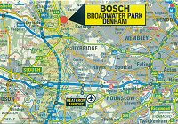
Savehay Farm, Denham
 |
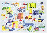
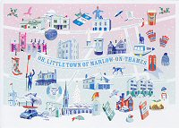
Marlow
|
|
 |
 |
Chesham
 |
Bernwood Forest, Buckinghamshire
 |
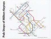
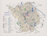
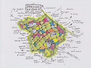
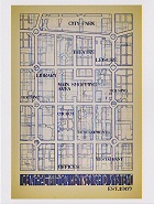
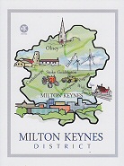
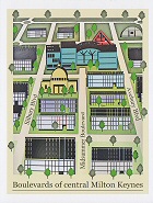
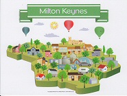
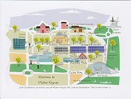
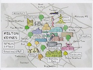
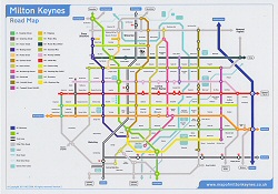
Milton Keynes
 |
 |
 |
 |
 |
 |
 |
 |
 |
 |
 |
 |
 |
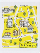
Bletchley
 |
Woughton on the Green
 |
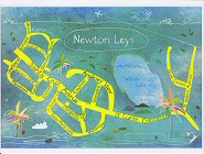
Newton Leys
 |
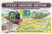
Chinnor and Princes Risborough Railway
 |
 |
 |
 |
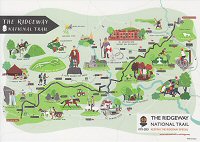
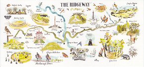
The Ridgeway National Trail
 |
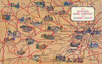
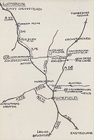
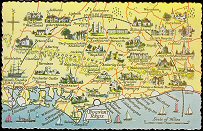
Home Counties
 |
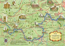
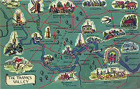
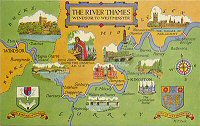
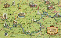
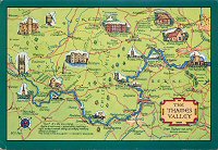
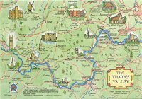
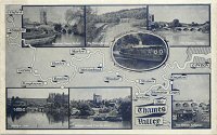
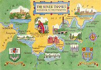
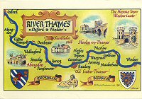
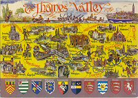
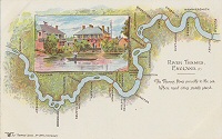
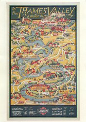
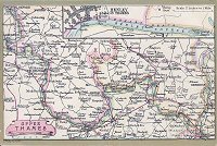
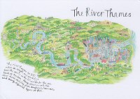
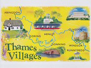
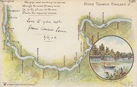
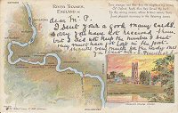
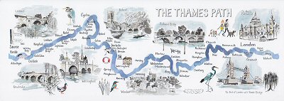
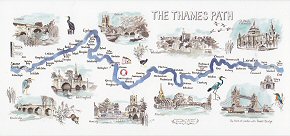
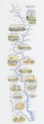
The Thames Valley / River Thames
 |
|||
 |
 |
 |
 |
 |
 |
 |
 |
 |
 |
 |
 |
||
 |
 |
 |
 |
 |
 |
 |
 |
 |
 |
 |
 |
 |
 |
 |
 |
 |
 |
|||
 |
|||
 |
 |
 |
|||
Thames Barrier
 |
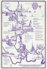
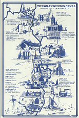
Grand Union Canal
 |
 |
||
 |
|||
 |
|||
 |
 |
 |
 |
 |
 |
||
Denham
 |
 |
 |
 |
 |
 |
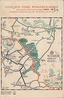
Foliejon Park & Windsor Great Park, Winkfield, Berkshire
 |
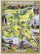
Parish of Brimpton
 |
Maidenhead
 |
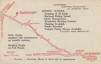
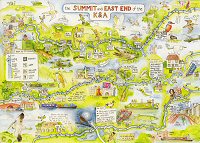
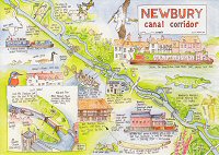
The East End of the Kennet & Avon Canal / Newbury Canal Corridor
 |
 |
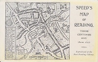
Reading
 |
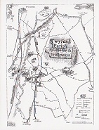
Twyford
 |
 |
 |
 |
 |
 |
 |
 |
 |
 |
 |
 |
 |
 |
 |
 |
 |
 |
 |
 |
 |
 |
 |
 |
 |
 |
 |
 |
 |
 |
 |
 |
 |
 |
 |
 |
 |
 |
 |
||
 |
 |
 |
 |
 |
 |
 |
 |
 |
 |
 |
 |
 |
|||
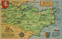
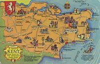
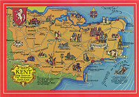
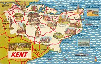
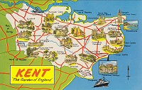
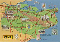
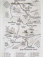
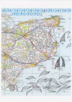
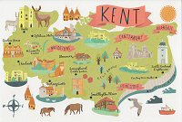
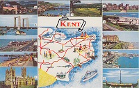
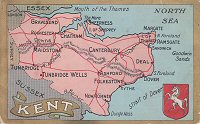
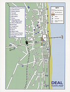
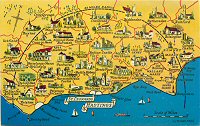
Deal
 |
|
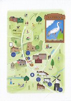
Cranbrook
|
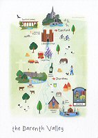
Darenth
Valley
|
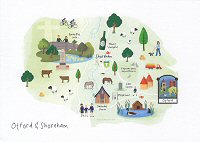
Otford
& Shoreham
|
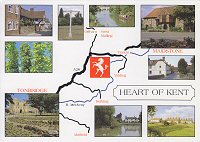
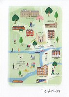
Tonbridge
|
 |
 |
 |
 |
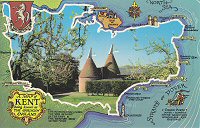
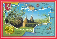
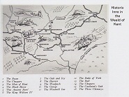
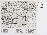
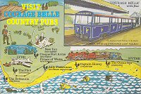
The Woolpack Inn, Warehorne, Kent
 |
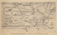
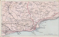
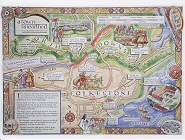
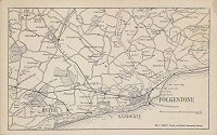
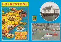
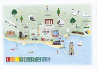
Folkestone
 |
 |
 |
 |
 |
 |
Halstead
 |
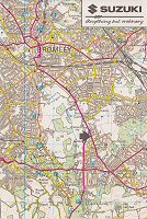
Bromley
 |
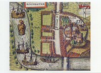
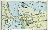
Rochester
 |
 |
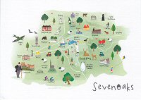
Sevenoaks
 |
 |
 |
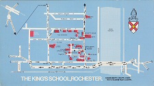
The King's School, Rochester
 |
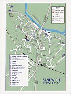
Sandwich
 |
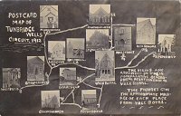
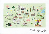
Tunbridge Wells
 |
 |
 |
 |
 |
|||
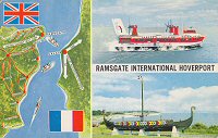
Ramsgate International Hoverport
 |
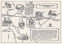
Chiddingstone Group of Parishes
 |
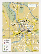
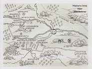
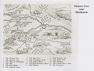
Maidstone
 |
|||
 |
 |
||
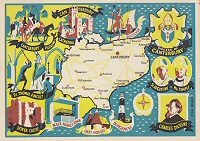
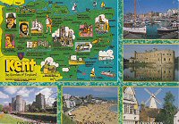
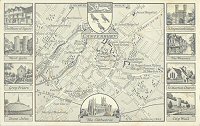
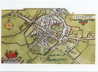
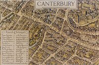
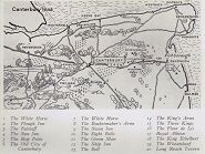
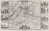
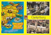
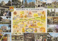
Canterbury
 |
 |
 |
 |
 |
 |
 |
 |
 |
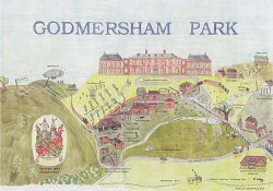
Godmersham Park
 |
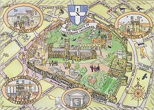
Precincts of Canterbury Cathedral
 |
|
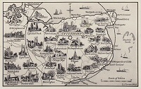
Centred
around Canterbury
|
 |
 |
 |
 |
 |
|||
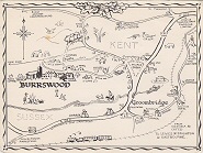
Burrswood
 |
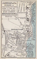
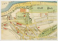
Broadstairs
 |
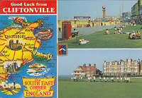
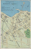
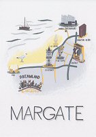
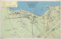
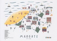
Margate
 |
 |
 |
 |
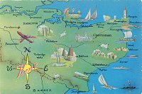
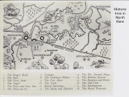
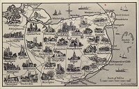
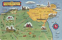
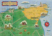
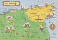
North East Kent
 |
 |
 |
 |
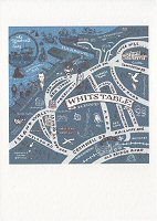
Whitstable
 |
 |
Tankerton Castle Estate, Whitstable
 |
 Undated |
 ©1968 |
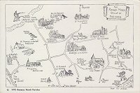 ©1973 |
 |
 |
 |
 |
 |
 |
 |
 |
 |
 |
 |
 |
 |
 |
 |
 |
|
|
 |
 |
 |
 |
 |
 |
 |
 |
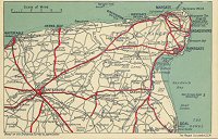
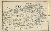
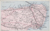
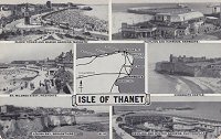
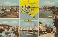
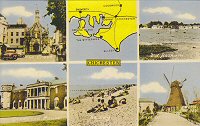
Isle of Thanet
 |
 |
 |
 |
 |
|||
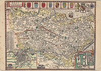
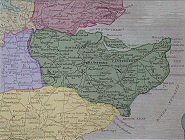
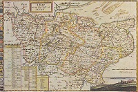
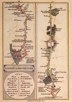
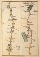
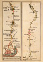
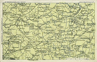
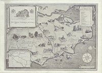
Kent Road
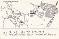
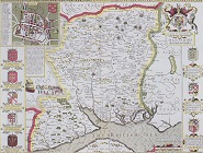
Maps by John Cary
London to Rochester / London
to East Grinstead
 |
 |
 |
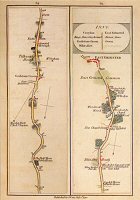 |
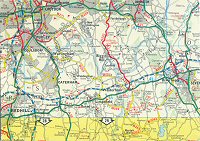
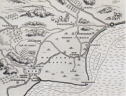
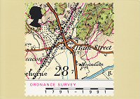
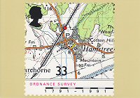
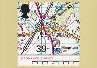
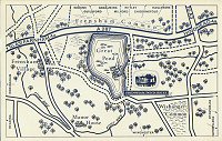
Ham Street
in Kent
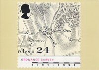
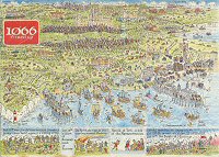
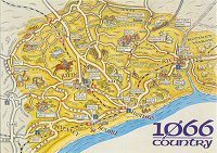
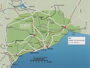
Map Postcards of Stamps issued by Royal Mail in 1991
 |
 |
 |
 |
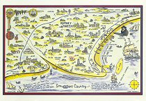
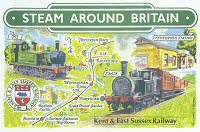
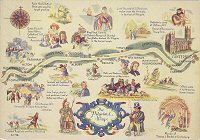
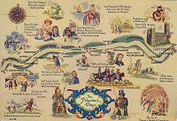
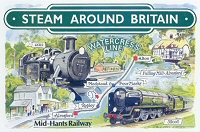
Kent and East Sussex Railway
 |
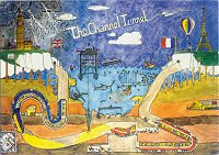
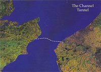
Channel Tunnel
 |
 |
 |
 |
 |
 |
 |
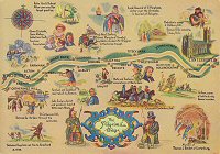
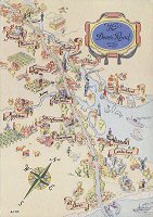
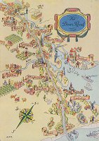
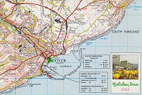
The Dover Road
 |
 |
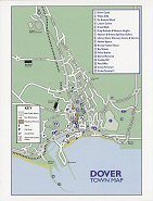
Dover
 |
 |
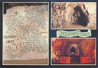
Chislehurst Caves
 |
 |
 |
 |
 |
 |
 |
 |
 |
 |
 |
|||
 |
 |
 |
 |
 |
 |
 |
 |
 |
 |
 |
 |
 |
 |
 |
 |
 |
 |
 |
 |
 |
 |
 |
 |
 |
|||
 |
 |
 |
 |
 |
|||
 |
 |
 |
 |
 |
 |
 |
 |
 |
 |
 |
 |
|
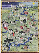
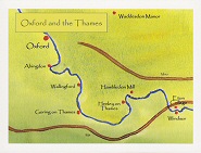
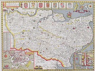
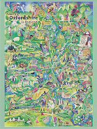
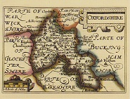
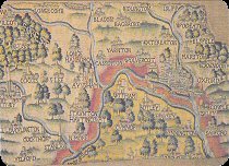
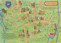
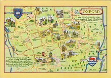
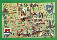
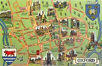
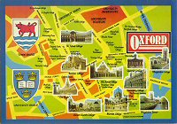
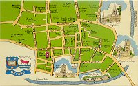
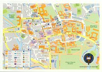
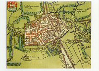
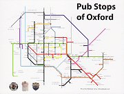
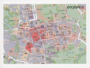
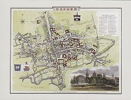
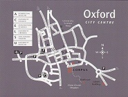
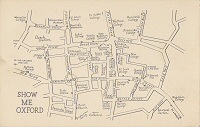
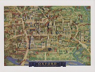
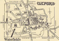
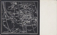
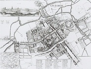
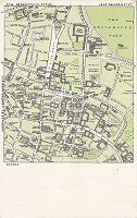
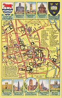
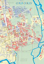
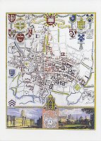
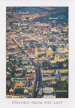
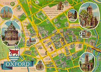
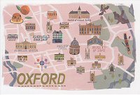
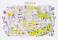
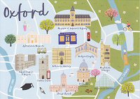
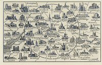
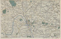
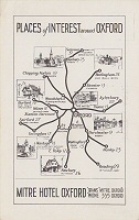
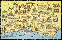
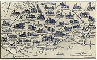
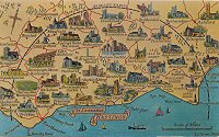
Centred
around Oxford
|
|||
 |
 |
||
 |
|||
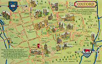
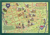
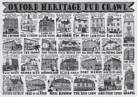
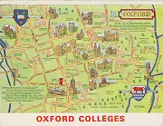
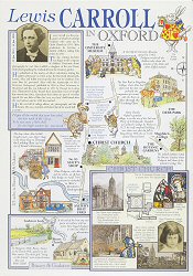
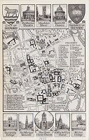
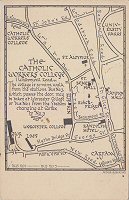
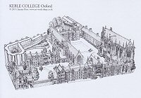
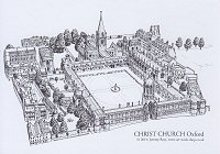
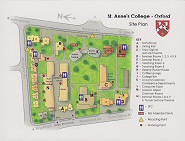
Oxford Colleges
 |
 |
 |
 |
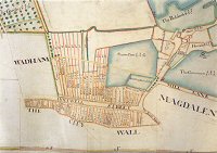
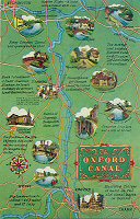
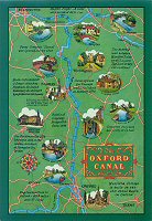
Oxford Canal
 |
 |
Kidderminster
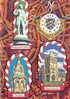 |
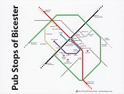
Bicester
 |
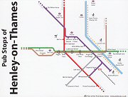
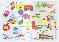
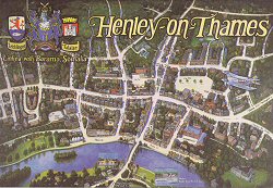
Henley-on-Thames
 |
|||
|
|
 |
 |
|
 |
|||
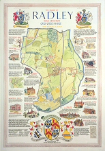
Radley, Oxfordshire
 |
Eynsham
 |
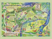 |
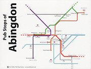
Abingdon
 |
 |
|||
 |
 |
 |
 |
 |
 |
 |
 |
 |
 |
 |
 |
 |
 |
 |
 |
 |
|||
 |
 |
 |
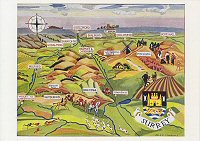
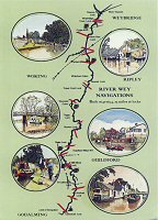
River Wey
 |
|
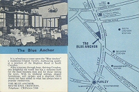
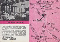
The
Blue Anchor, South Croydon
|
|
 |
 |
|
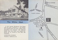
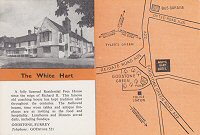
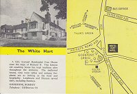
The
White Hart, Godstone
|
||
 |
 |
 |
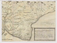
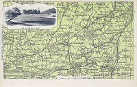
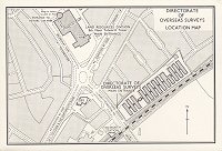
Directorate of Overseas Surveys, Tolworth
 |
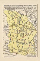
Rights of Way, Parish of Chaldon, Surrey
 |
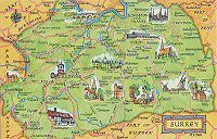
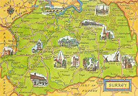
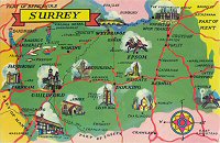
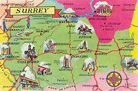
Guildford
 |
 |
|
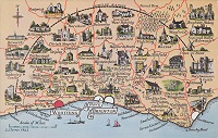
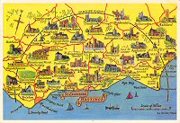
Centred
around Guildford
|
|||
 |
 |
 |
 |
Diocese of Guildford
 |
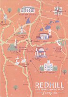
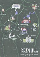
Redhill
|
|
 |
 |
 |
 |
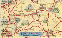
Bisley and District
 |
Hindhead and District
 |
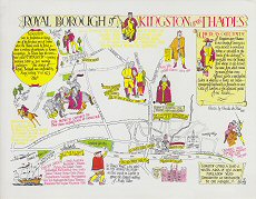
Kingston upon Thames
 |
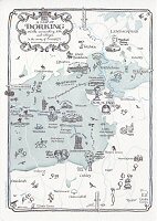
Dorking and District
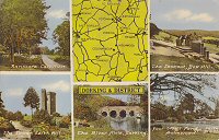 |
|
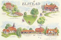
Elstead
|
Frensham
Pond
|
Cobham
|
 |
 |
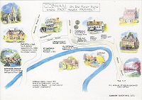 |
|
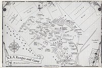
Bisley
Camp
|
Egham
|
 |
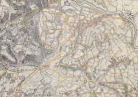 |
Dorking
 |
The Runnymede-on-Thames
 |
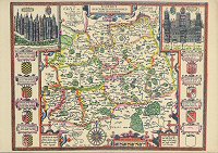
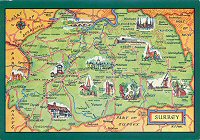
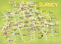
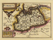
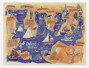
Surrey/Sussex
 |
 |
 |
 |
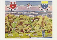
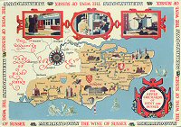
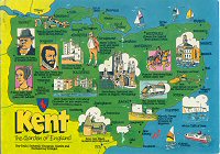
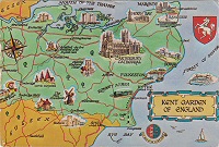
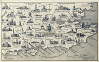
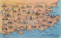
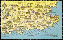
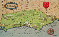
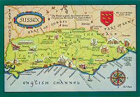
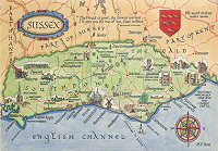
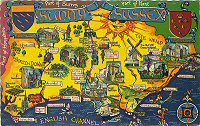
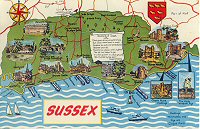
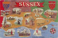
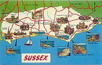
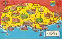
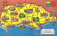
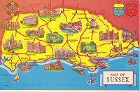
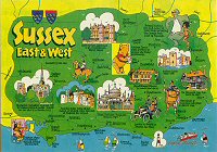
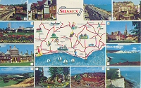
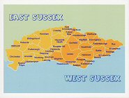
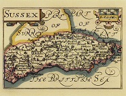
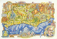
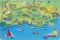
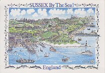
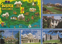
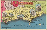
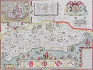
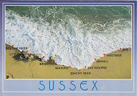
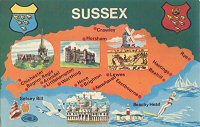
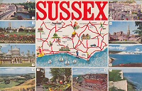
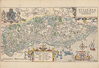
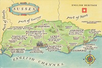
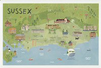
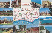
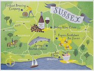
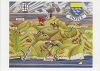
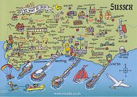
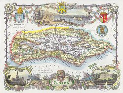
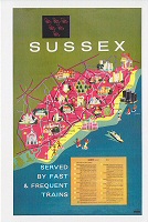
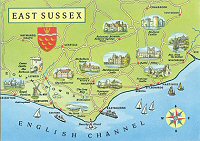
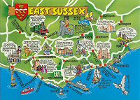
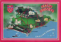
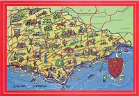
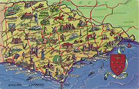
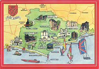
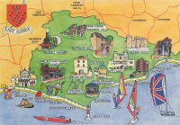
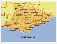
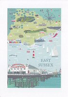
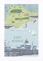
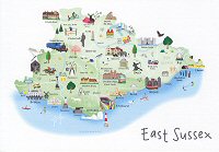
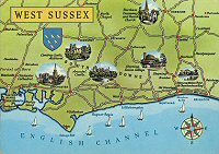
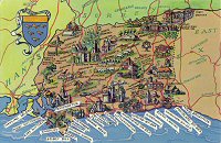
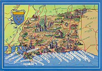
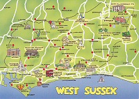
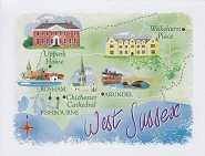
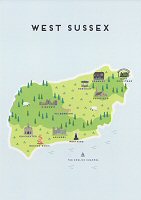
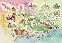
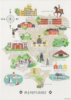
Sussex
 |
 |
 |
 |
 |
 |
 |
 |
 |
 |
 |
 |
 |
 |
 |
 |
 |
 |
 |
 |
 |
 |
 |
 |
 |
 |
 |
 |
 |
 |
 |
 |
 |
 |
 |
 |
 |
 |
 |
 |
 |
 |
 |
 |
 |
 |
 |
 |
 |
 |
 |
||
 |
 |
 |
 |
 |
 |
 |
 |
 |
 |
 |
 |
 |
 |
 |
 |
 |
|
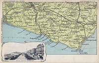
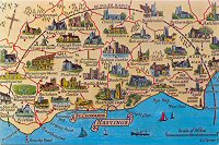
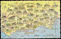
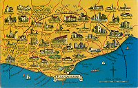
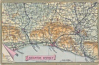
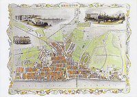
Centred
around Hove and Brighton
|
 |
 |
 |
|
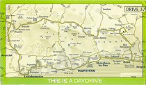
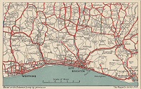
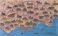
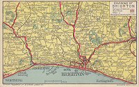
Centred
around Hove, Brighton and Worthing
|
 |
|
Centred
around Worthing
|
|||
 |
 |
||
|
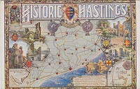
Centred
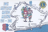
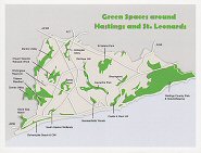
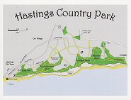
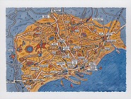
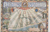
around St Leonards and Hastings
|
|||
 |
 |
 |
 |
 |
 |
 |
 |
 |
|||
|
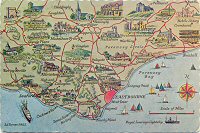
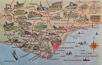
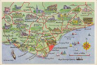
Centred
around Eastbourne
|
|||
 |
 |
 |
 |
 |
 |
 |
St Leonards-on-Sea
 |
|||
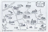
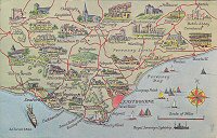
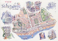
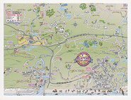
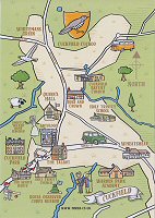
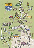
Uckfield Area
 |
|||
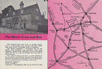
The Nevill Crest and Gun, Eridge Green
 |
|||
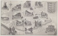
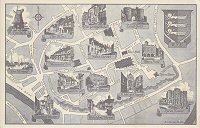
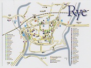
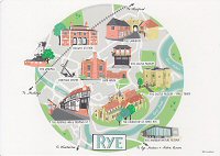
Rye
 |
 |
 |
 |
Battle
 |
|||
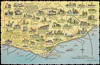
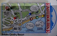
Eastbourne
 |
 |
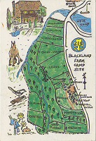
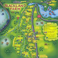
Blackland Farm Campsite, East Grinstead
 |
 |
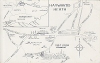
Haywards Heath
 |
|||
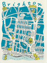
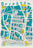
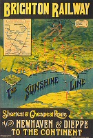
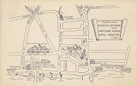
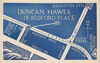
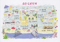
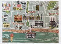
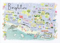
Brighton
 |
 |
 |
 |
 |
 |
 |
 |
 |
 |
 |
 |
 |
|||
Stanmer Park
 |
|||
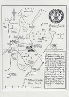
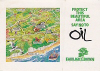
Fairlight Down
 |
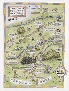
Hartfield (Pooh Country)
 |
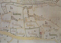
Amberley and District
 |
Land at Ninfield
 |
Reconstruction of Medieval Lewes
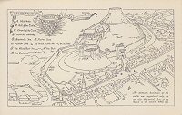 |
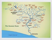
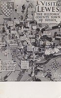
Lewes
 |
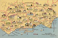
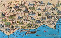
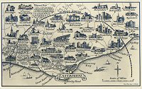
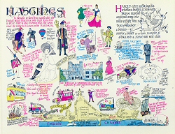
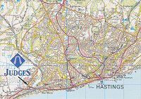
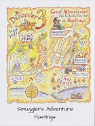
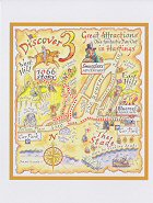
Hastings
 |
 |
 |
 |
 |
 |
 |
||
 |
 |
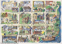
Hastings and St Leonards
 |
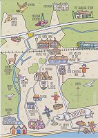
Seaford
 |
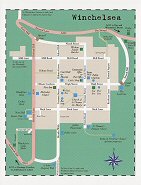
Winchelsea
 |
 |
 |
 |
 |
 |
 |
 |
||
 |
 |
|
Centred
around Bognor Regis
|
|||
 |
 |
 |
 |
 |
 |
||
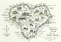
Ashdown Forest, Sussex
 |
Detail from
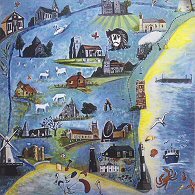
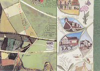
the Parish Map of Chidham with Hambrook and Nutbourne, West Sussex
Part of the West Sussex County Council Millennium Map Project
 |
 |
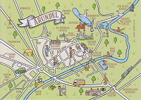
| Arundel | |||
 |
 |
||
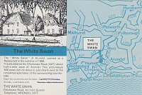
The White Swan, Arundel
 |
|
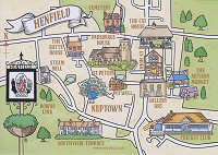
Henfield
|
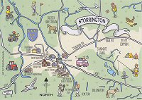
Storrington
|
 |
 |
| Cuckfield | Ferring | Findon |
 |
 |
 |
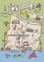
| Rustington |
 |
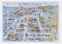
Petworth, West Sussex
 |
Graffham, Selhamand South Ambersham, West Sussex
 |
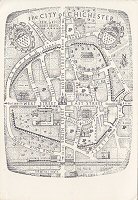
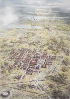
Chichester
 |
 |
 |
 |
 |
|
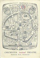
Chichester Festival Theatre
 |
Chichester Harbour
 |
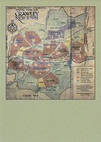
Crawley New Town (1949), West Sussex
 |
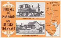
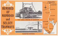
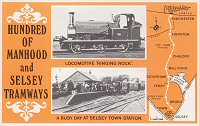
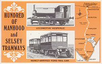
Hundred of Manhood and Selsey Tramways
 |
 |
 |
 |
 |
 |
|
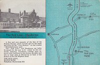
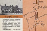
The
Red Lion, Handcross
|
|
 |
 |
Marden
 |
Slough
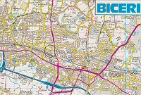 |
Slough and Windsor
 |
 |
Trotton
 |
Sonning-on-Thames
 |
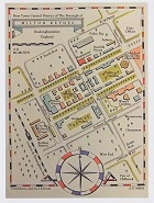
London
has moved to its own Gallery
 |
 |
 |
 |
 |
 |
 |
 |
 |
 |
 |
 |
 |
 |
 |
 |
 |
 |
 |
 |
 |
 |
 |
 |
 |
 |
 |
 |
 |
 |
 |
 |
 |
 |
 |
 |
 |
 |
 |
 |
 |
 |
 |
 |
 |
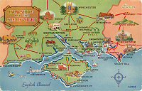
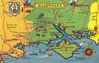
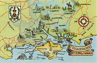
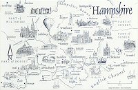
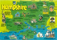
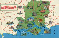
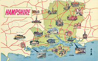
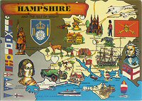
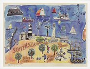
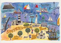
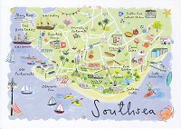
Southsea
 |
 |
 |
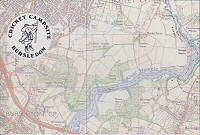
Bursledon Cricket Campsite
 |
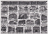
Hyde, Winchester
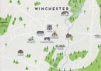
 |
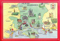
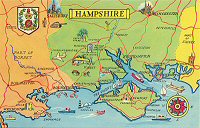
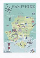
Winchester
 |
 |
 |
Basingstoke
 |
West Meon
 |
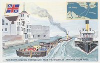
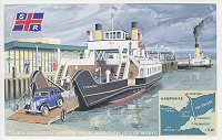
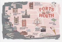
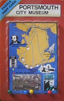
Portsmouth
 |
 |
 |
 |
 |
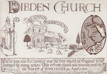
Dibden
 |
Eling Creek
 |
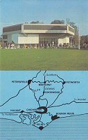
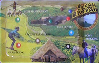
Queen Elizabeth Country Park
 |
 |
 |
 |
 |
 |
 |
 |
 |
 |
 |
 |
 |
 |
 |
 |
 |
 |
 |
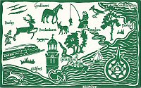
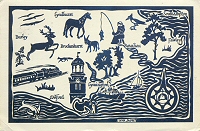
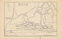
Barton on Sea
 |
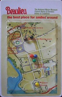
Beaulieu (Motor Museum)
 |
Broughton
 |
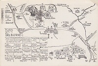
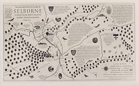
Selborne
 |
 |
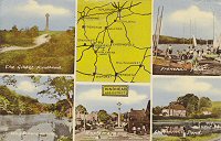
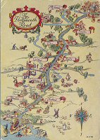
The Portsmouth Road
 |
Foxlease Estate, Hampshire
 |
Titchfield, Hampshire
 |
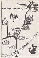
Steventon, Hampshire
 |
Parish of Fawley, Hampshire
 |
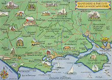
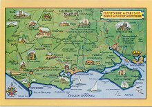
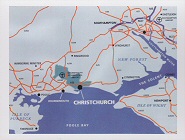
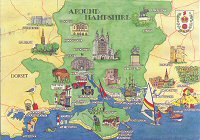
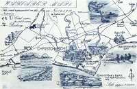
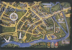
Christchurch, Hampshire
 |
 |
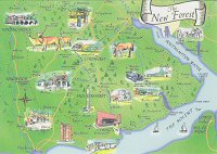
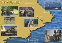
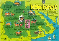
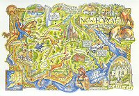
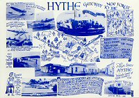
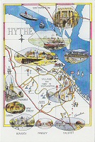
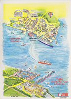
Hythe, Hampshire (Gateway to the New Forest)
 |
 |
 |
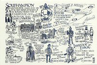
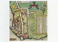
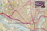
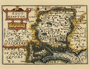
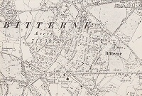
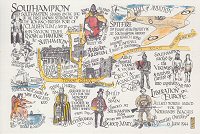
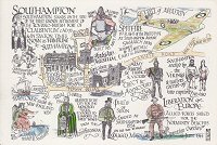
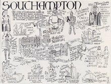
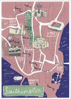
Southampton
 |
 |
 |
 |
 |
 |
 |
 |
 |
 |
 |
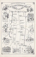
Hartley University College, Southampton
 |
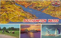
Southampton Water
 |
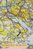
Hardley School, Southampton
 |
Isle of Wight has moved to its own Gallery